4 posts tagged with "ar"

View All Tags

· 3 min read
Kieran Farr

We’re thrilled to announce the early access launch of 3DStreet Geospatial Pro introducing groundbreaking 3D map integrations, drag-and-drop 3D model placement, augmented reality features, and more.
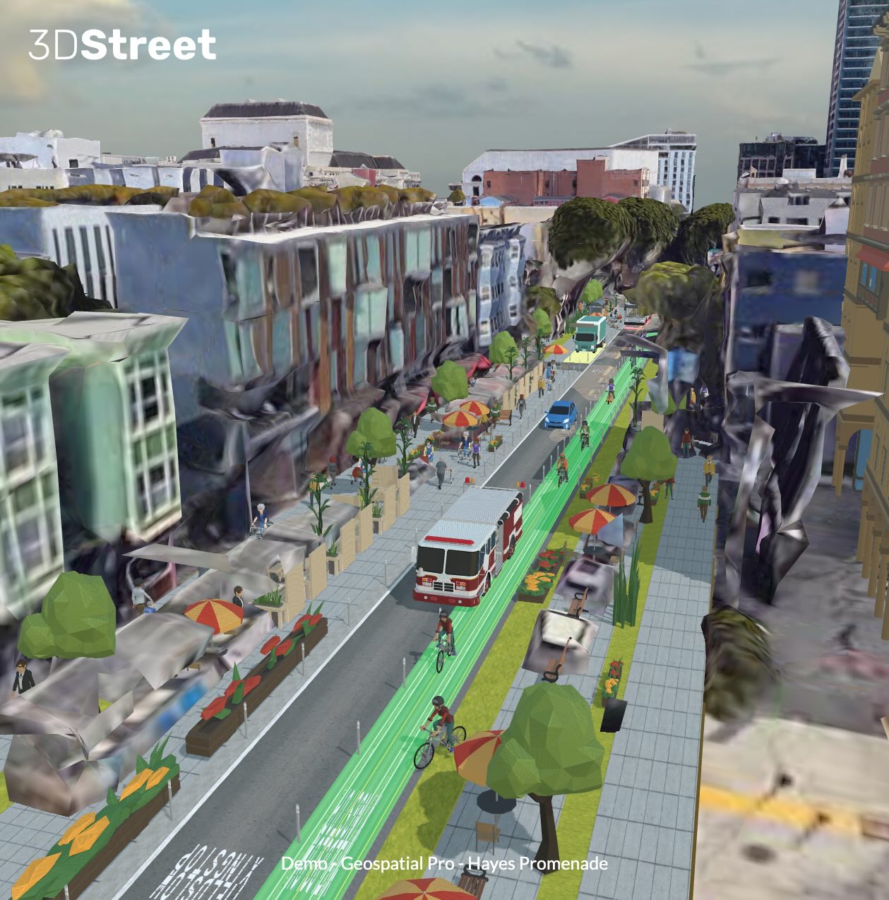

Community advocate Andrew Seigner used 3DStreet Geospatial Pro to propose a few alternative treatments for a Hayes Street Promenade in San Francisco.

· 7 min read
Kieran Farr

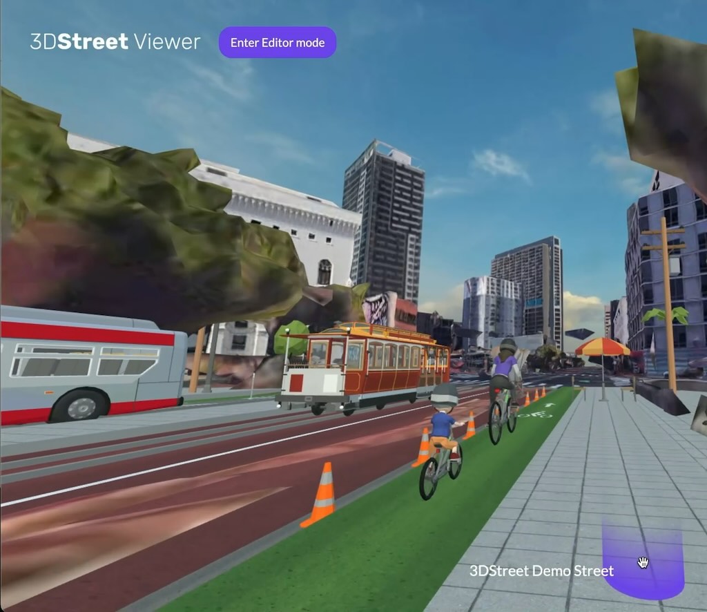
"Geospatial" is the uniting theme for the many feature requests we get from 3DStreet's growing user base. Users can already place custom street scenes, so it's natural to understand why geospatial features like 3D Google Map Tiles or Augmented Reality visualization keep coming up in conversations with users when we explore common repeatable workflows for visualizing safer infrastructure.

To kick off 2024 we've been doing some experiments to see how these technologies could be applied to public streets and spatial design.

Proof of concept 3D Tiles and 3DStreet scene combined.
· 5 min read
Marc Schlossberg

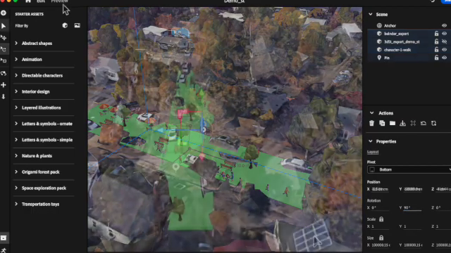
Greetings! I'm Marc Schlossberg, and I've been working alongside Danny Pimentel and graduate student Luke Walker at the University of Oregon on an exciting project: crafting augmented reality (AR) landscapes for our streets. What I have here is a practical, step-by-step guide designed to walk you through how to bring this innovative vision to your own neighborhood. So, let's roll up our sleeves and get our hands digitally dirty!

· 5 min read
Kieran Farr

A few weeks ago I attended a "developer day" at a local electronics company down the road featuring their new mixed reality VR headset. I spent the entire day testing many different WebXR applications with a heavy focus on evaluating which user interaction elements will be relevant for developers.

Below are some notes intended for other 3DStreet code contributors to reference as we work on supporting new WebXR compatible devices.